Edelson

Aerial & Drone Photography for Corporate, Events & Editorial

As a licensed and insured FAA Part 107 drone operator with nearly a decade of experience, I provide professional aerial photography and video services that meet the highest standards of safety, quality, and creativity.

Whether I’m flying over a large-scale corporate event, capturing cinematic B-roll for marketing campaigns, or producing stunning overhead visuals for editorial use, my approach combines technical precision with an eye for compelling storytelling.

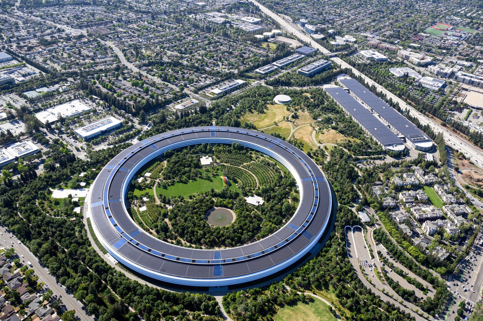
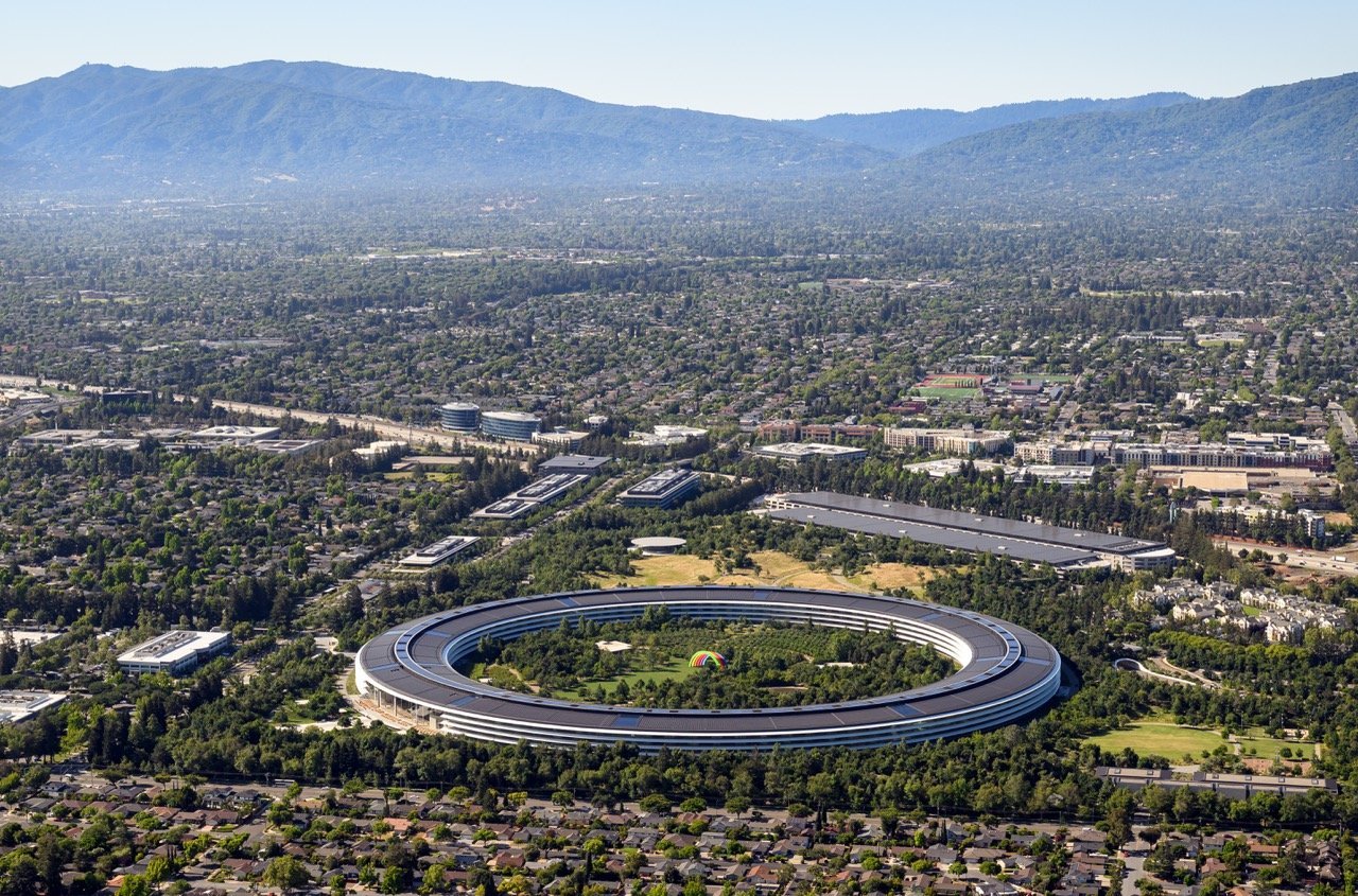
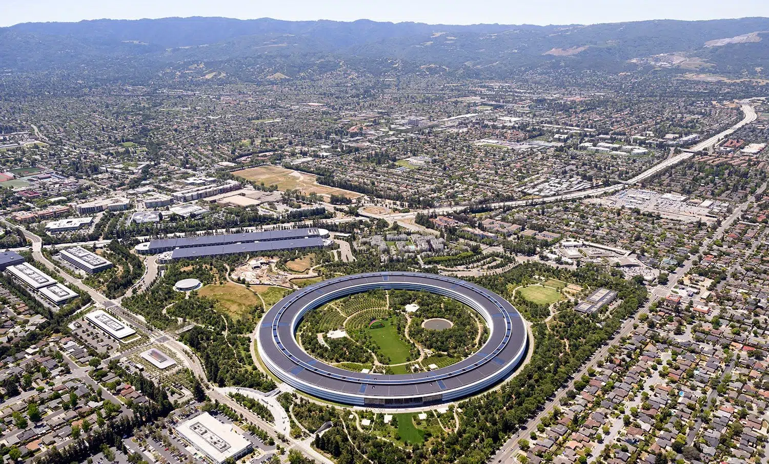
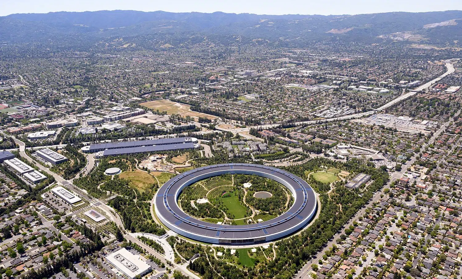
Apple Park surrounded by Cupertino's suburban landscape, seen from above. Photo by Josh Edelson.
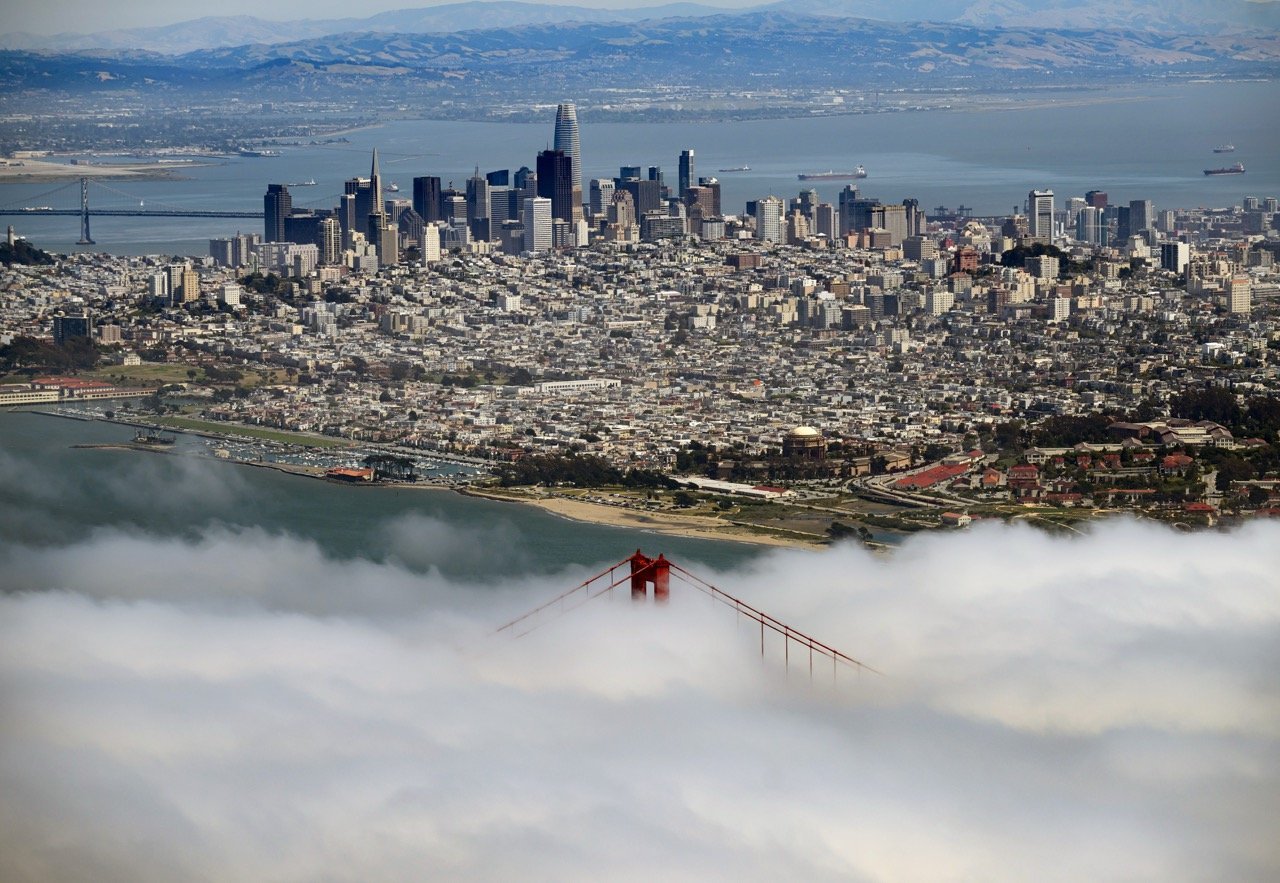
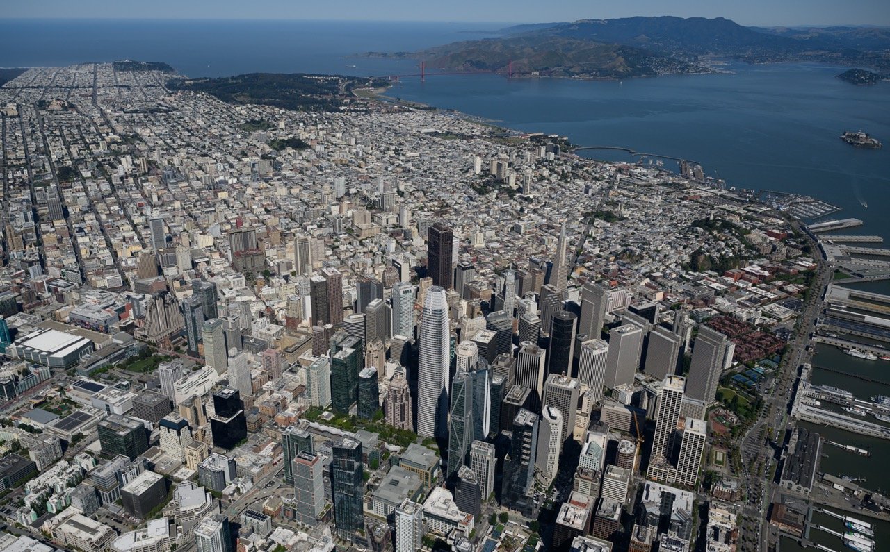
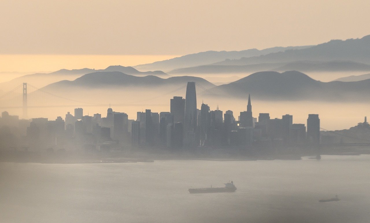
The San Francisco skyline with the Golden Gate Bridge in the foreground as marine fog rolls across the bay. Photo by Josh Edelson.
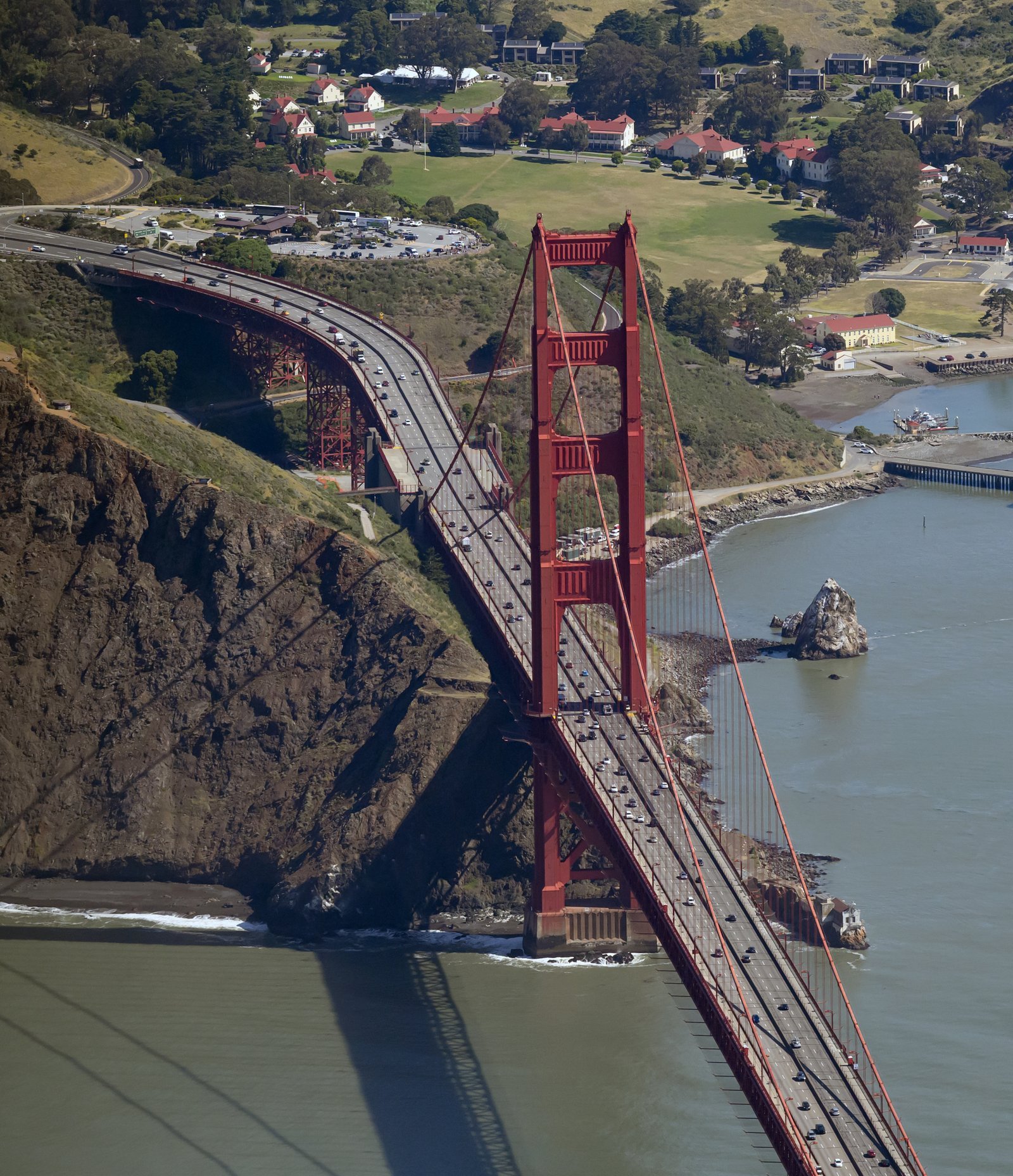
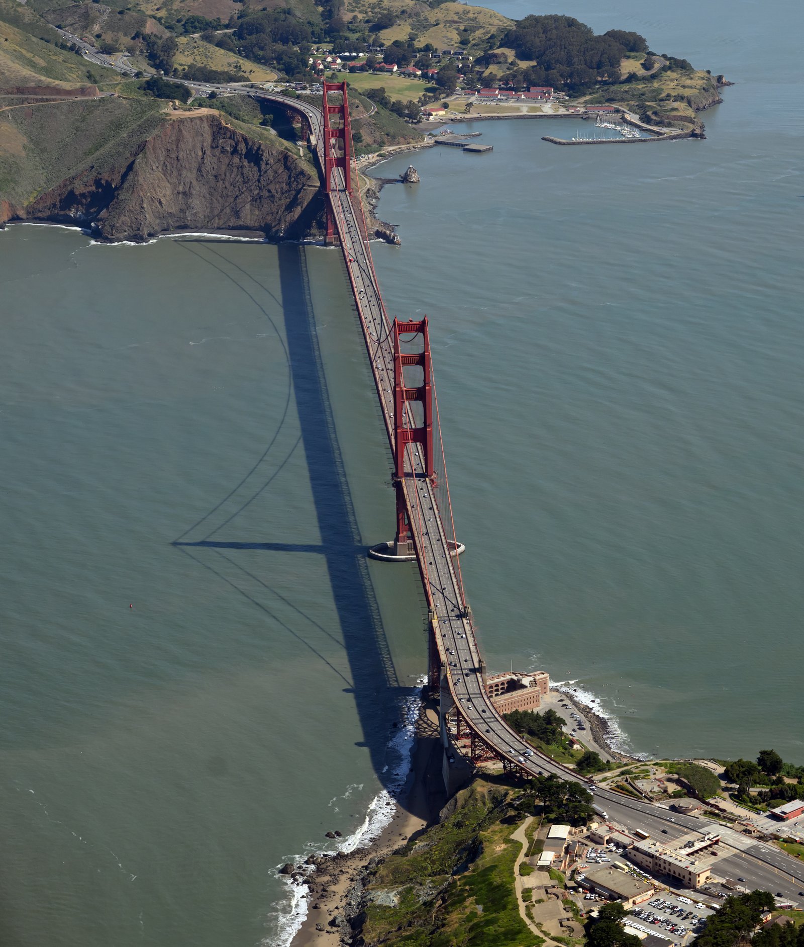
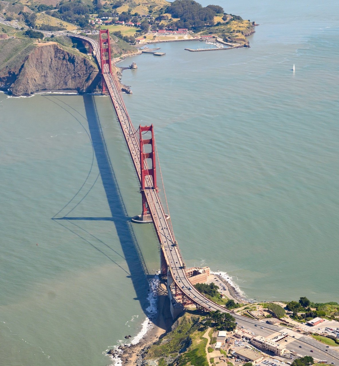
Vertical aerial view of the Golden Gate Bridge from the Marin Headlands side. Photo by Josh Edelson.
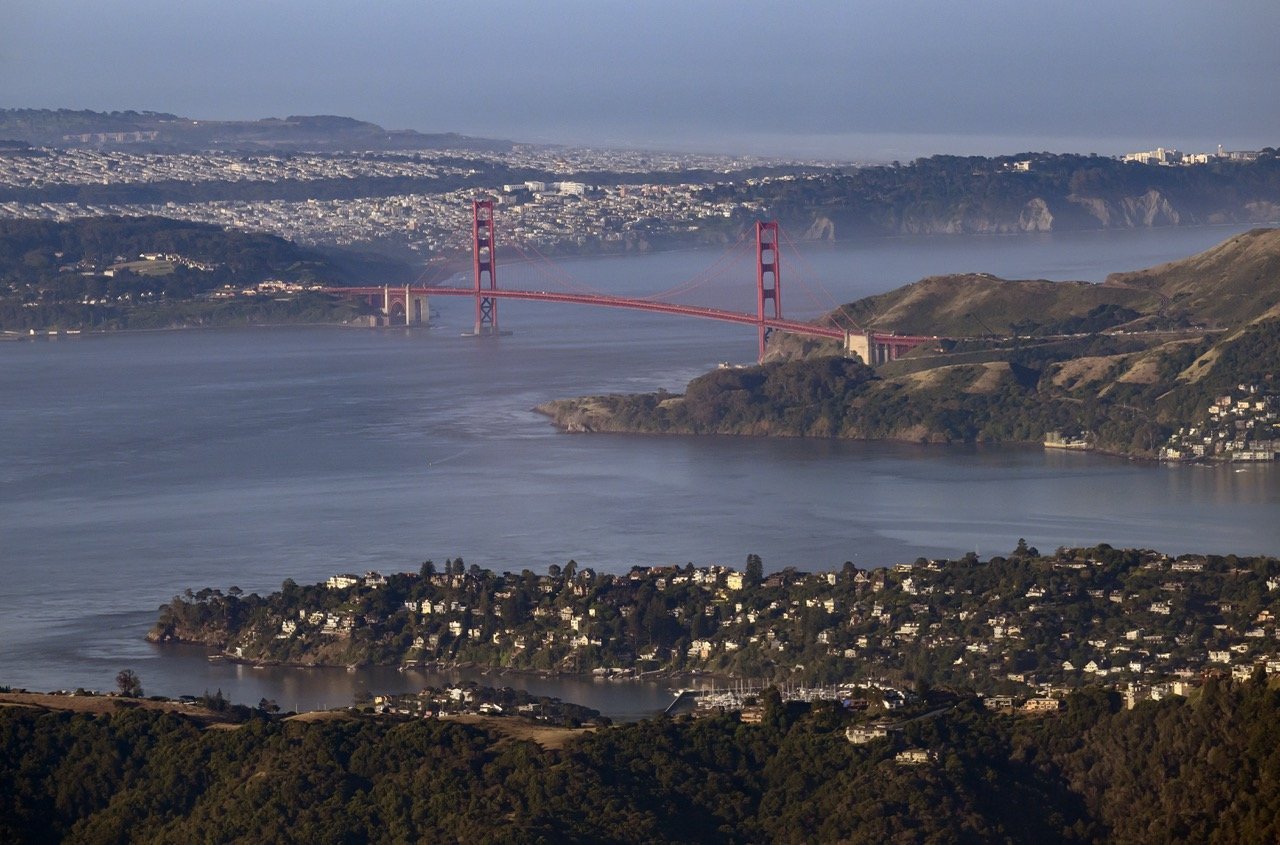
The Golden Gate Bridge from over the San Francisco Bay, looking north toward Marin. Photo by Josh Edelson.
A wide view of the Golden Gate Bridge spanning the entrance to San Francisco Bay. Photo by Josh Edelson.
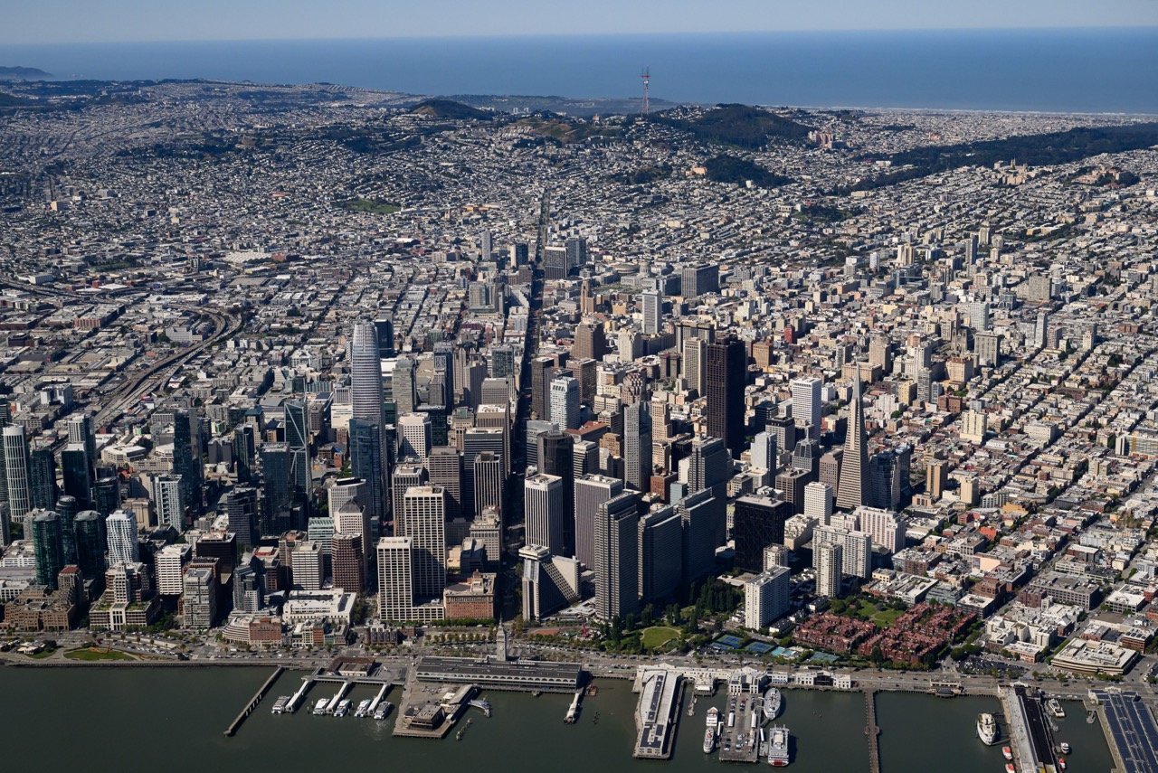
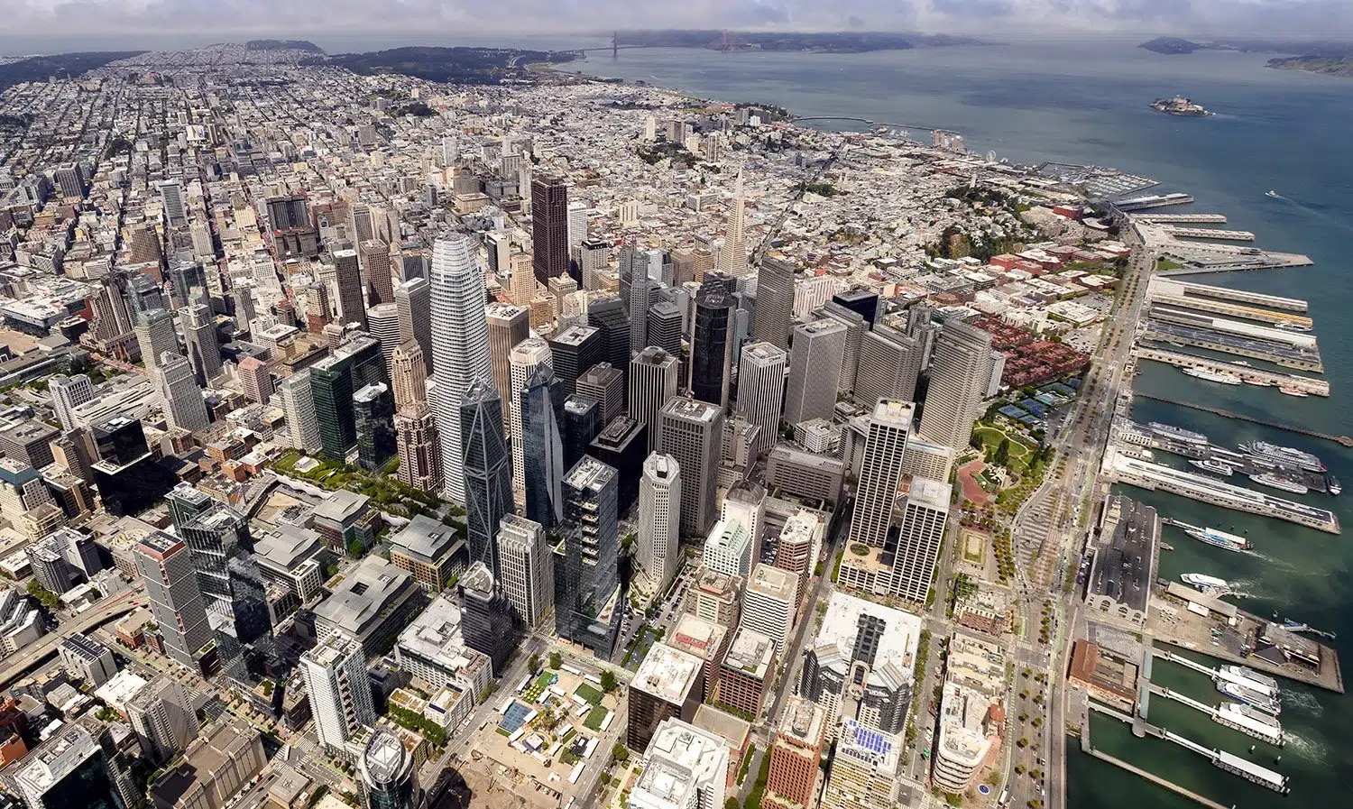
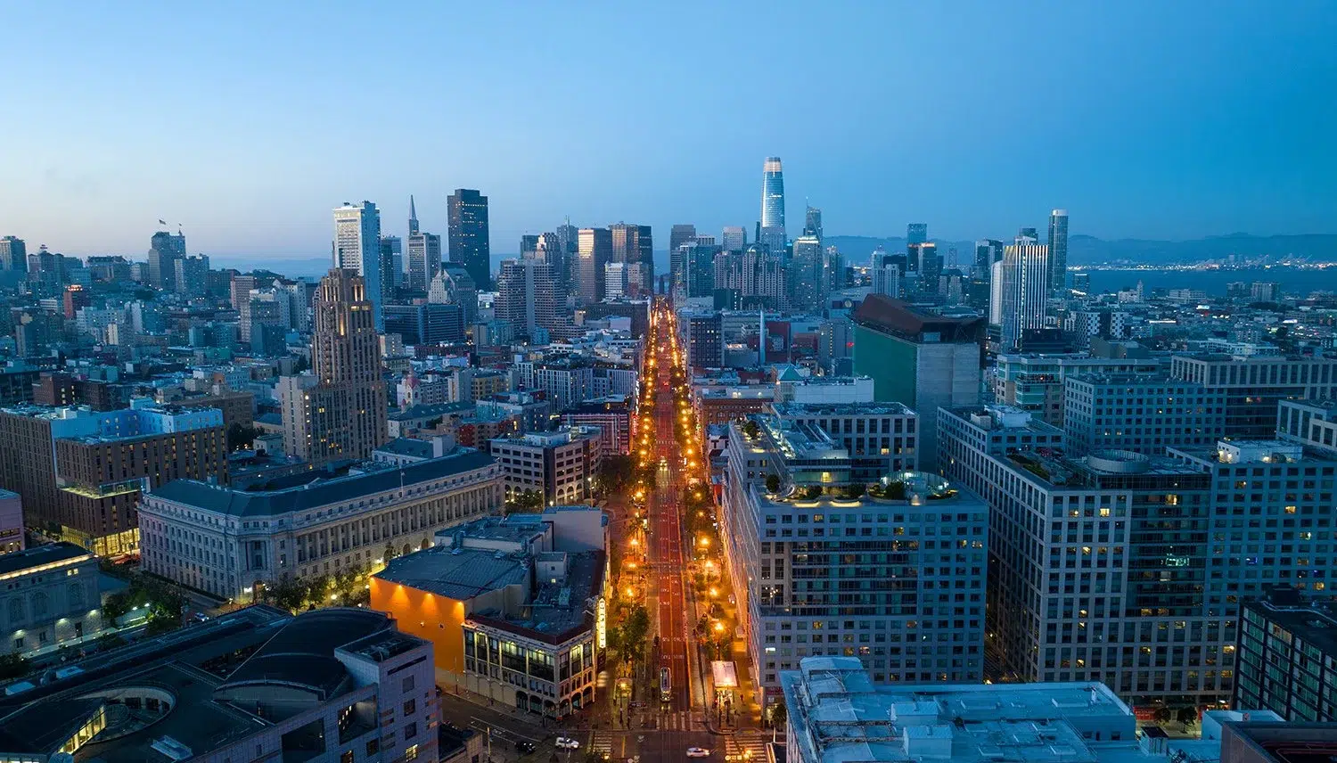
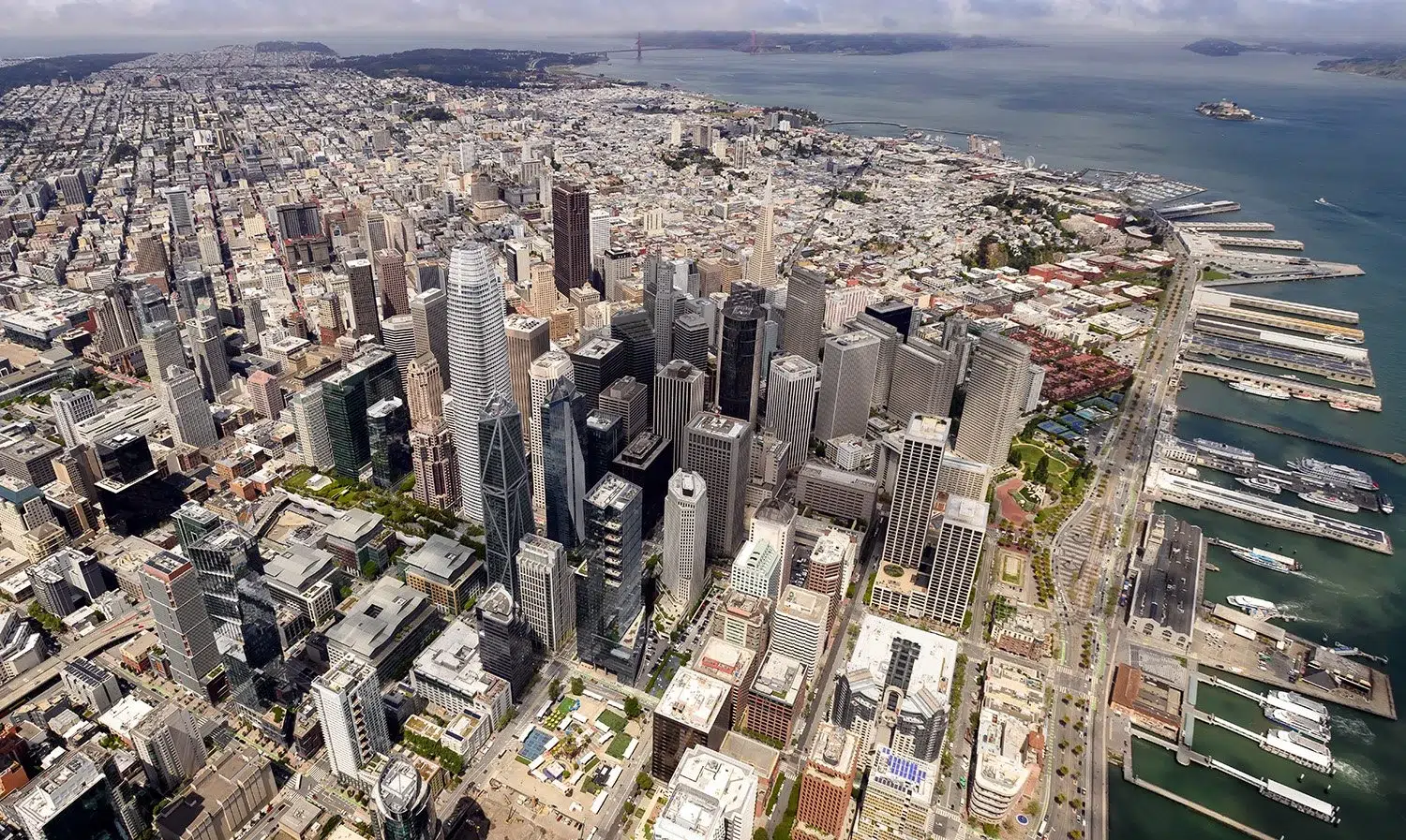
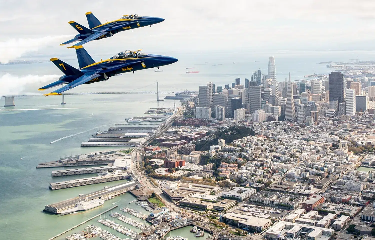
The dense downtown San Francisco skyline from above, including the Financial District and Transamerica Pyramid. Photo by Josh Edelson.
Aerial photograph of the Golden Gate Bridge spanning the Golden Gate strait, looking south toward San Francisco. Photo by Josh Edelson.
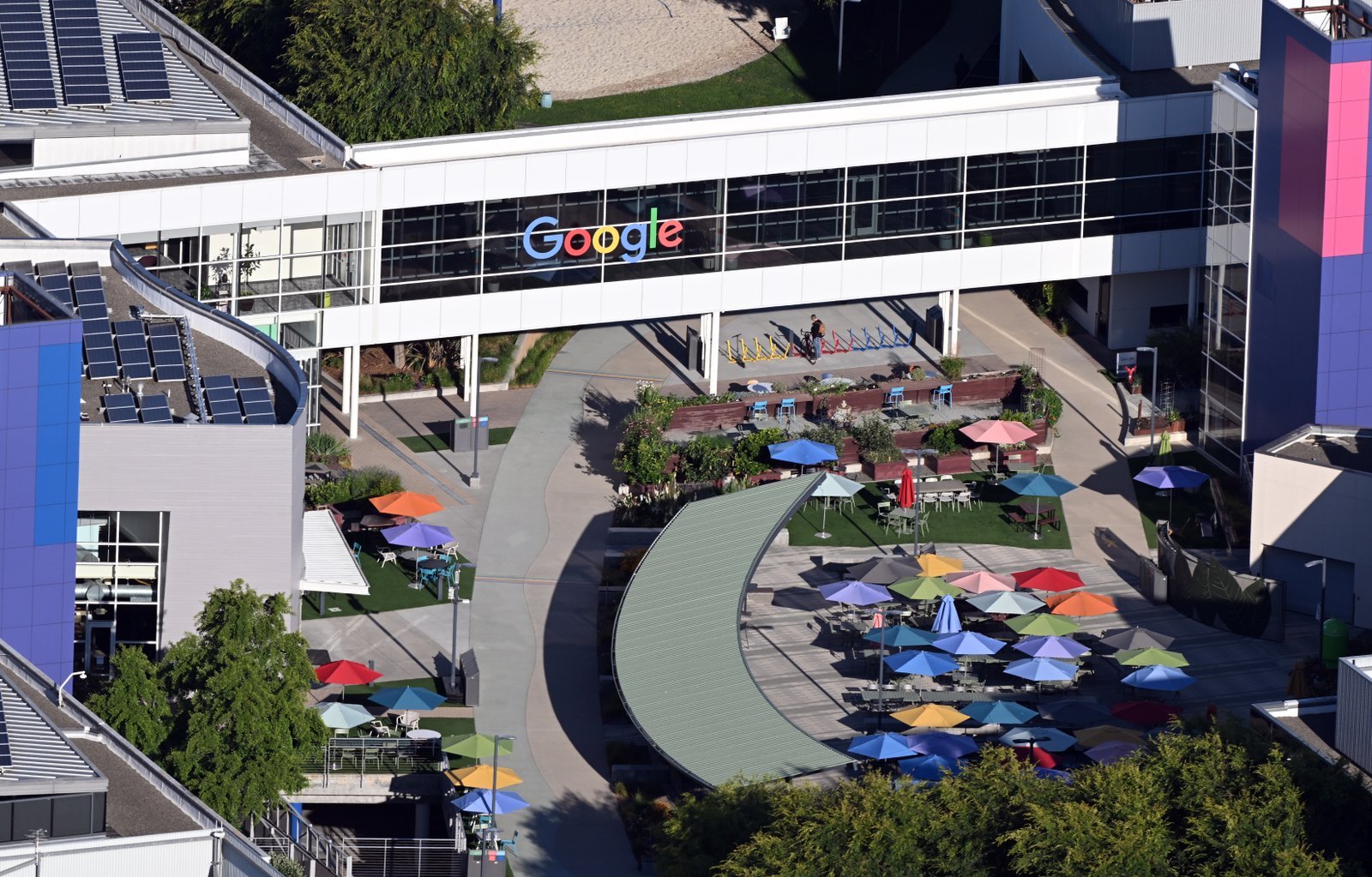
Aerial view of Google's headquarters in Mountain View, California, photographed during Google I/O 2026. Photo by Josh Edelson.
Aerial view of Apple Park, Apple's ring-shaped corporate headquarters in Cupertino, California. Photo by Josh Edelson.
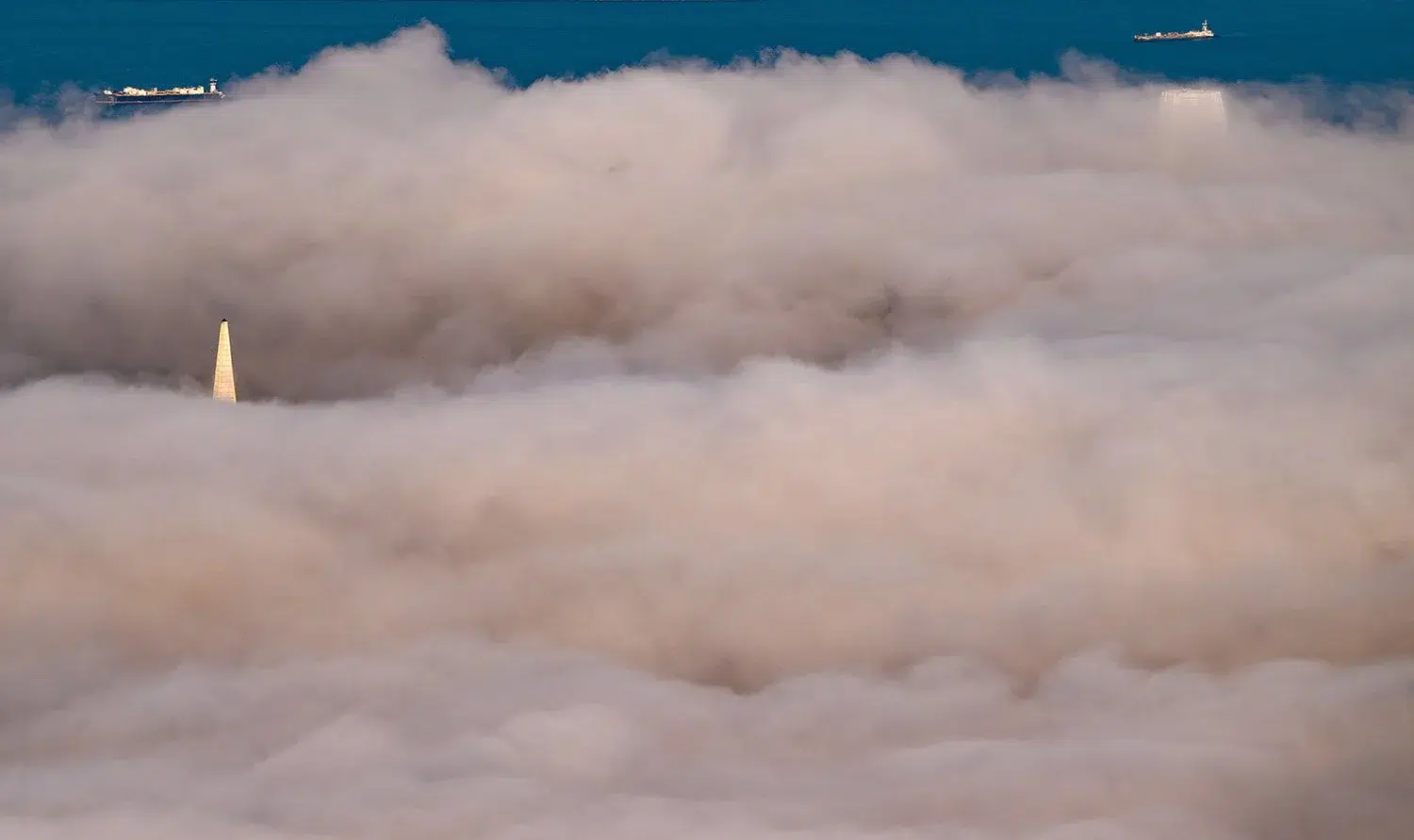
The San Francisco Bay Area from above, with marine fog rolling in toward the downtown San Francisco skyline. Photo by Josh Edelson.
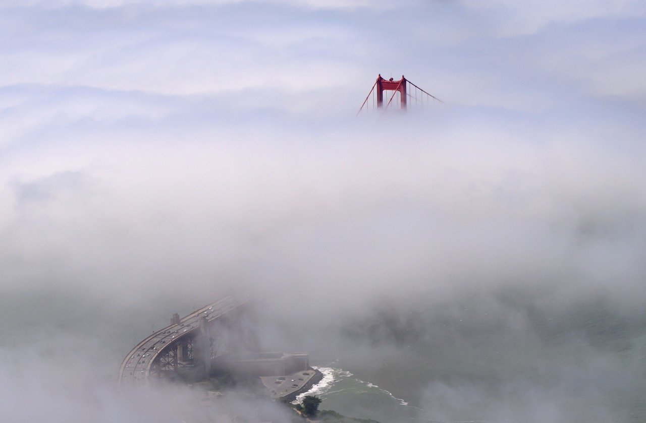
The towers of the Golden Gate Bridge emerging through a layer of marine fog over the bay. Photo by Josh Edelson.
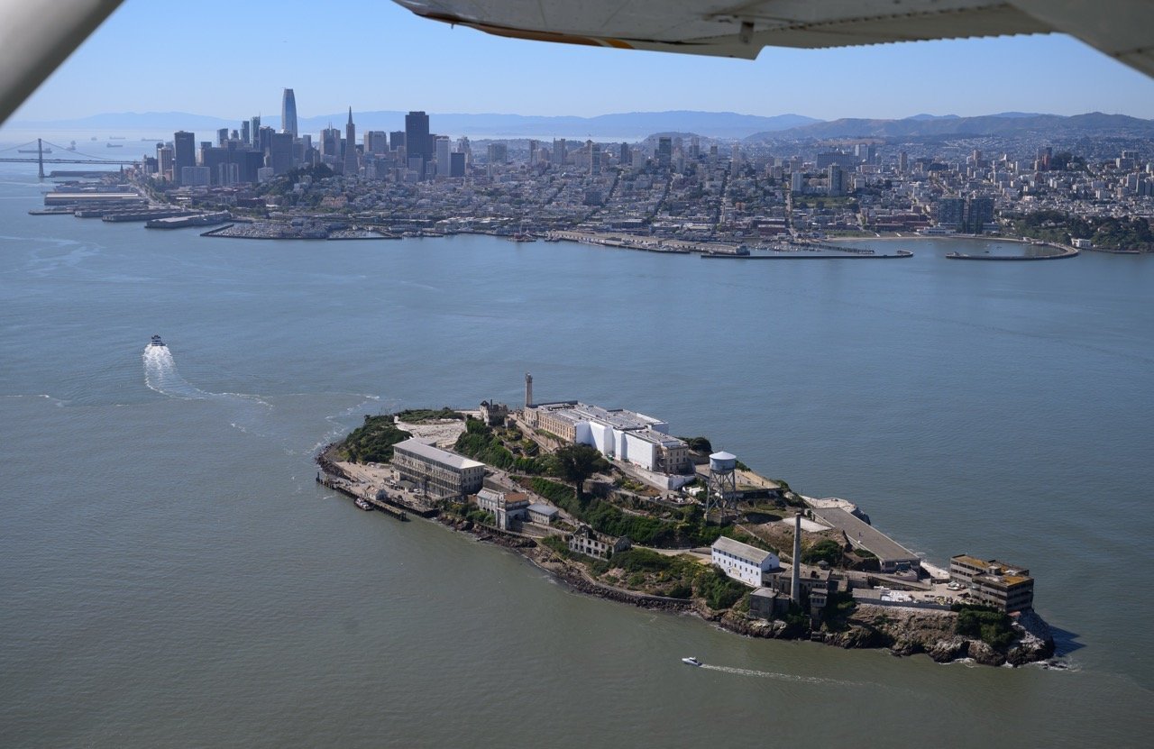
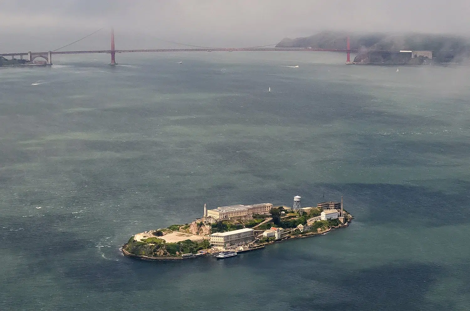
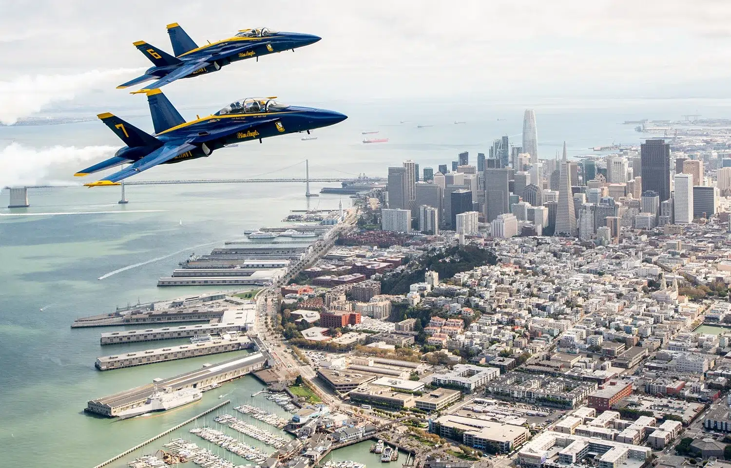
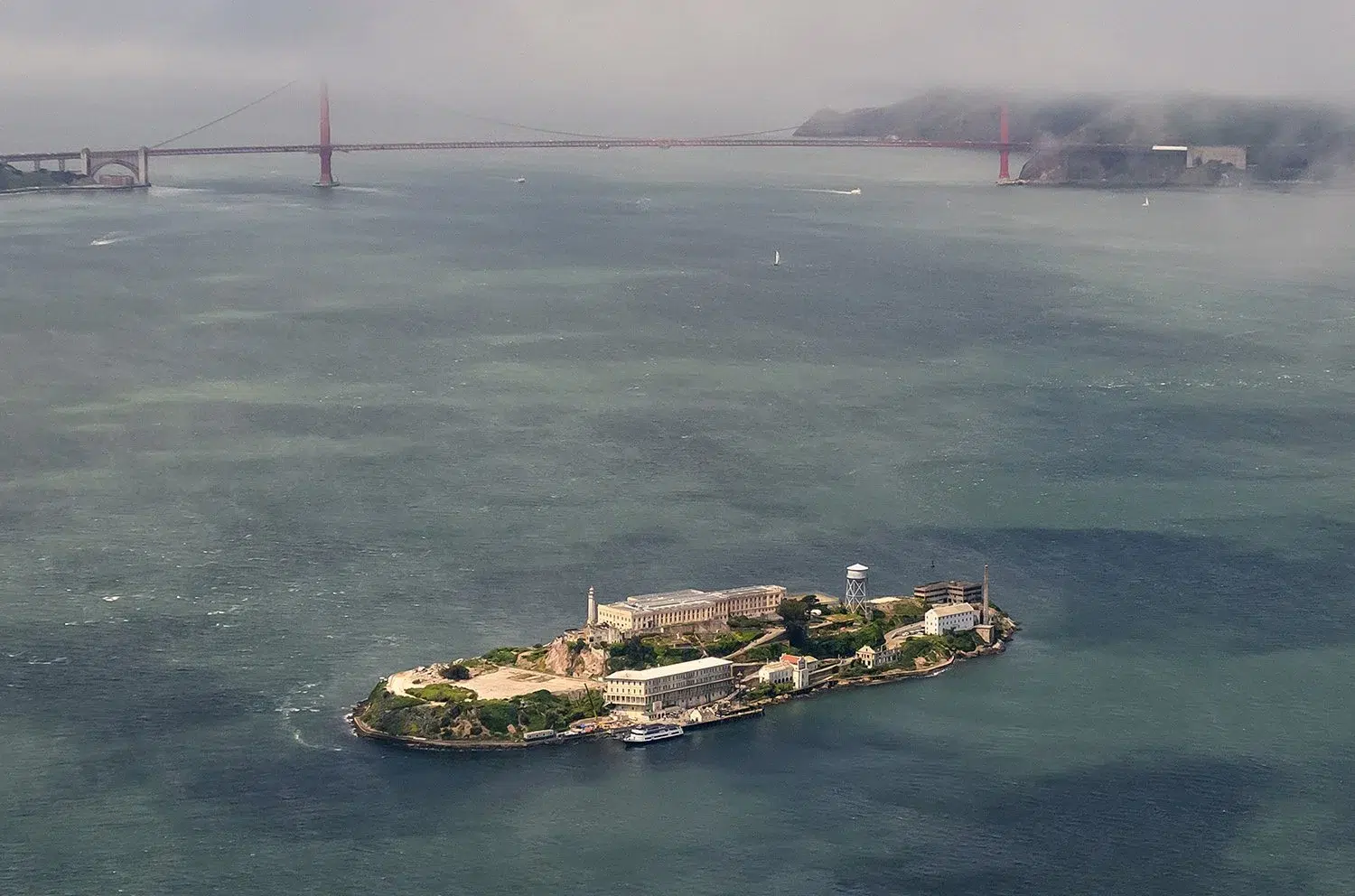
Aerial view of Alcatraz Island in front of the San Francisco skyline. Photo by Josh Edelson.
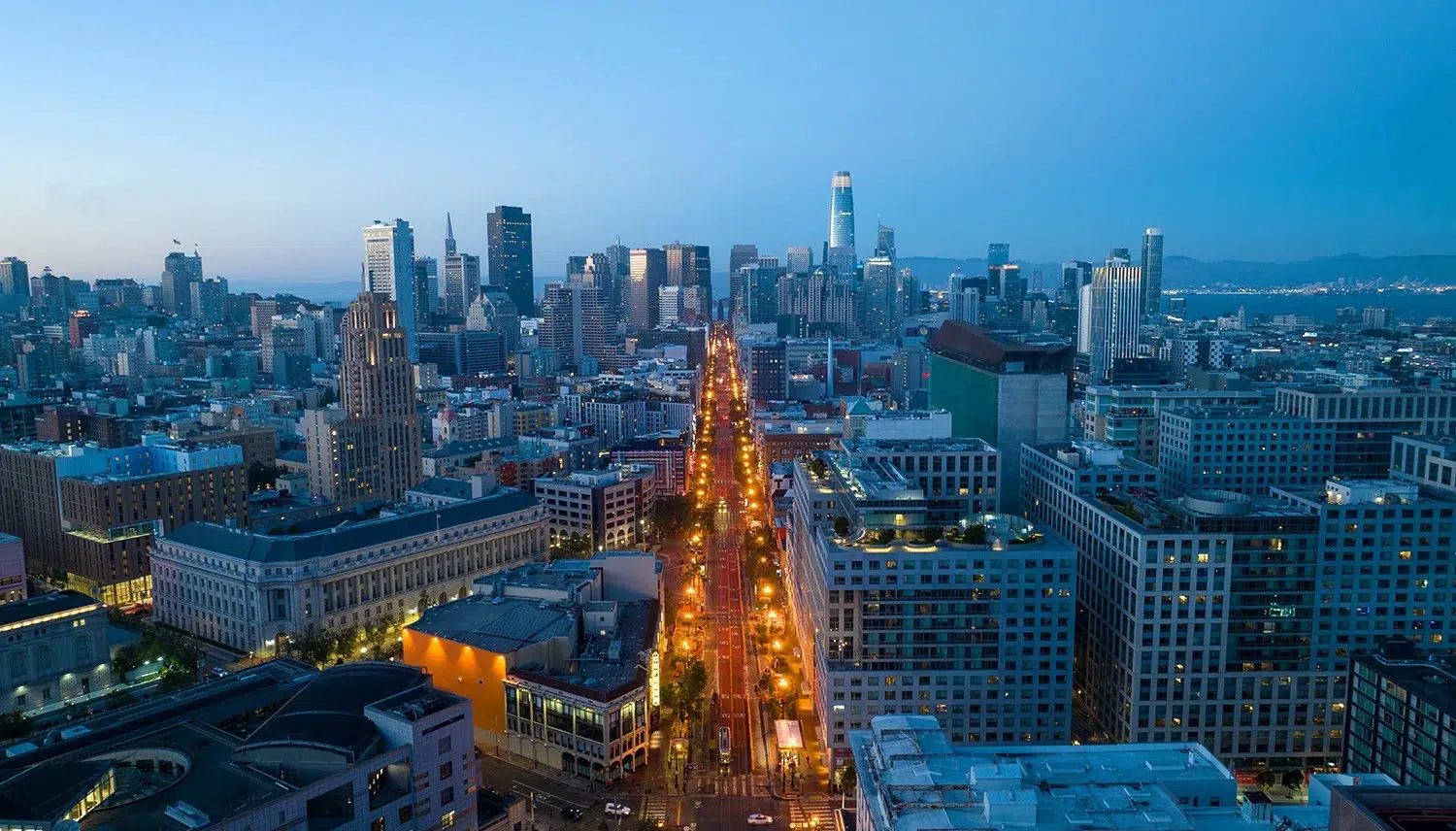
Downtown San Francisco from directly above — the Financial District, North Beach, and the Embarcadero. Photo by Josh Edelson.
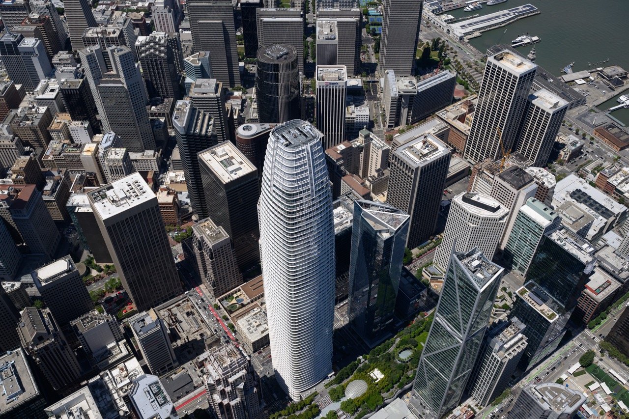
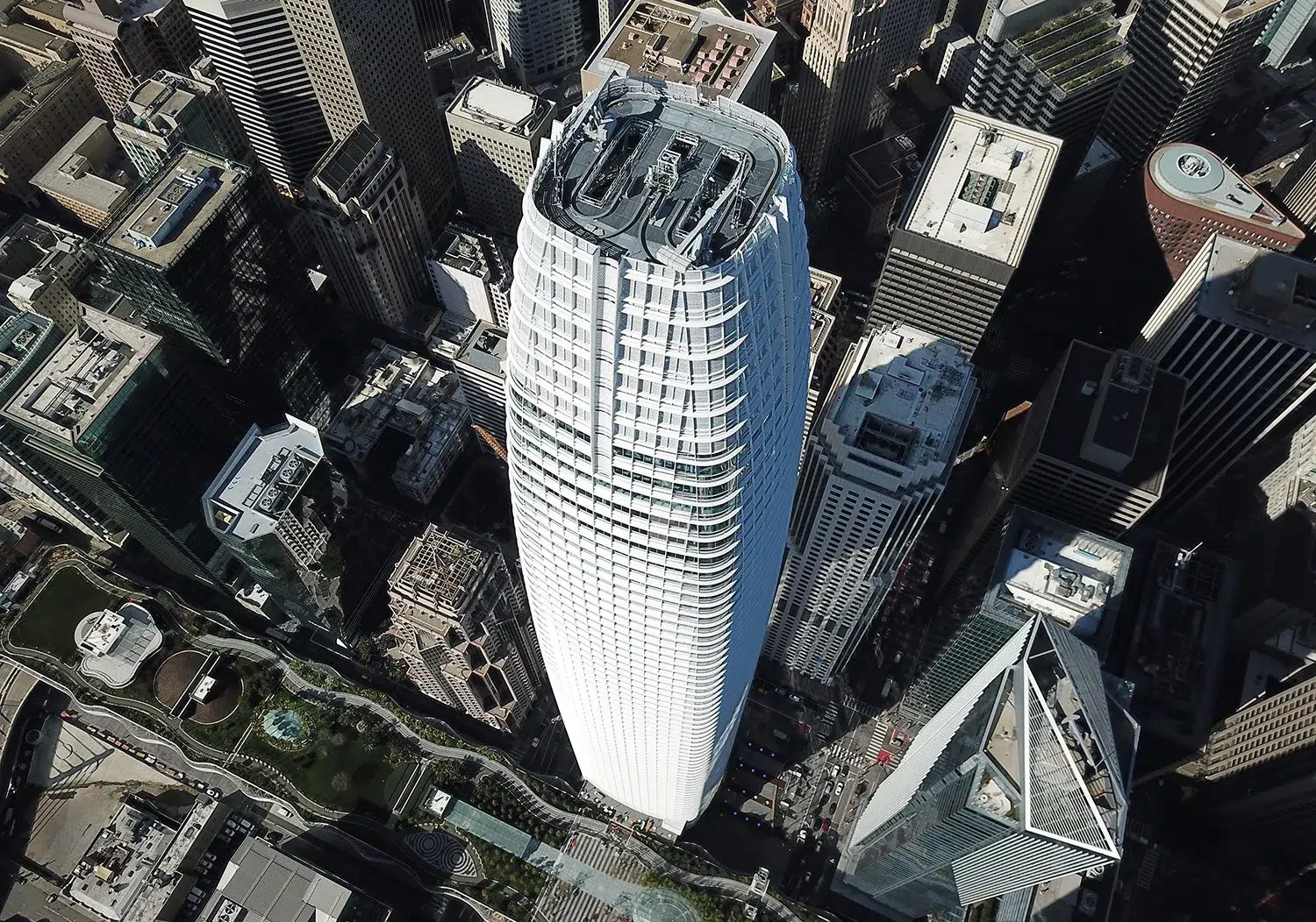
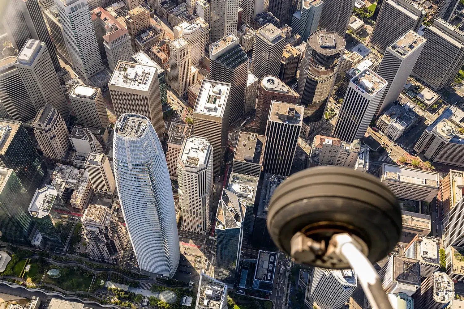
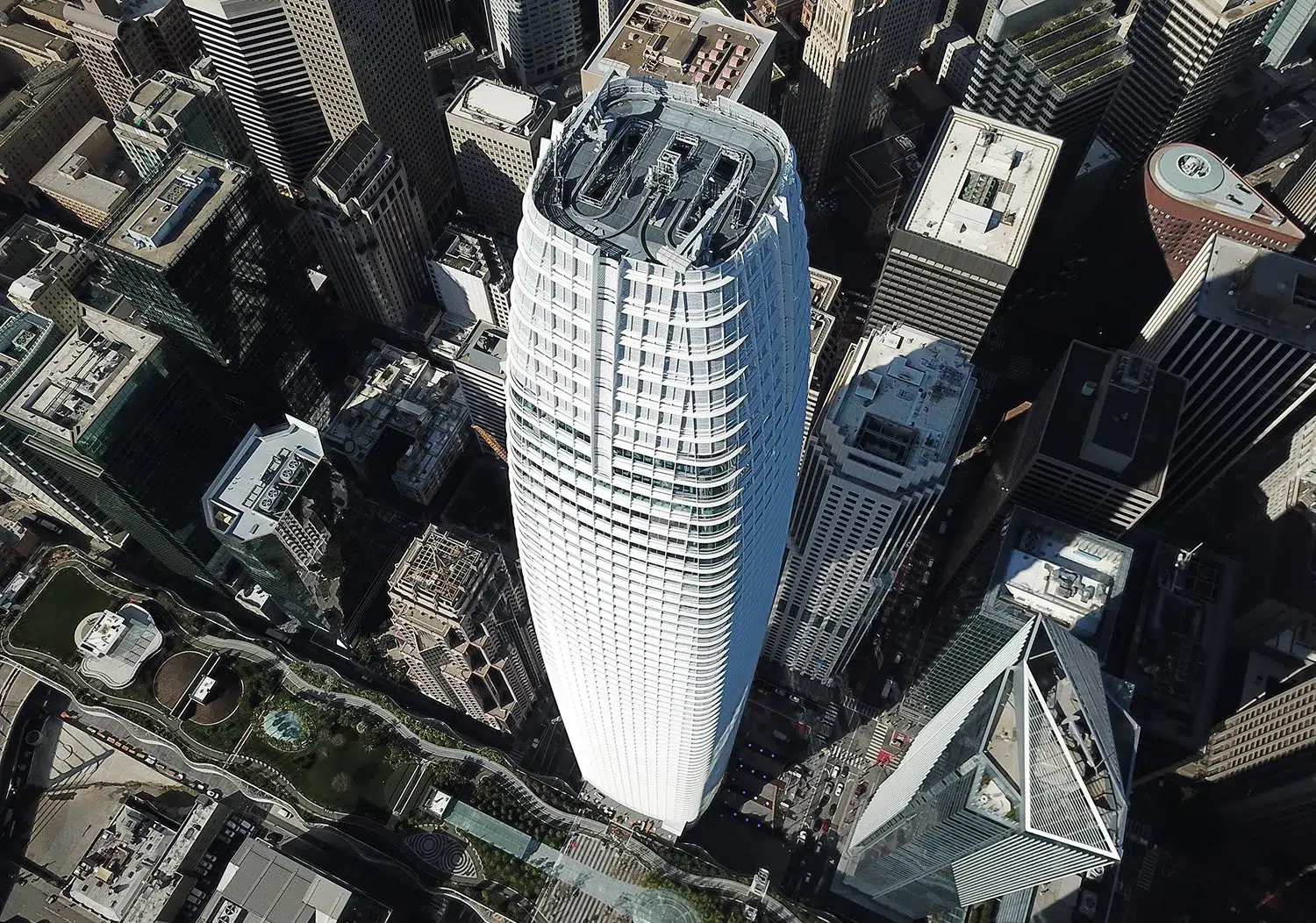
Salesforce Tower and the San Francisco Financial District skyline from above. Photo by Josh Edelson.
6753aaeb-63be-4d1b-9a82-0db7219e263e
16cfb1bf-0bca-4cf2-8246-65c25489dac9
2d243ead-a147-4964-9cb4-17fe5548fcdc
ef41dc29-0469-4efd-8651-d8db5de84d82
e19518ed-b7d7-4b02-98fb-e64fc007f17f
d6816cdf-360d-4db0-9023-32a600963b31
bf92364e-61bc-4aa4-b3c8-433f4bfa8f64
290731d0-f82b-4197-99b1-92a7c4de8283
243b2553-f939-46f2-832f-5088af7c85c2
35acc081-4b54-4a28-aaeb-f499314c2784
23e1ce61-7703-41d0-9298-5289c44c6794
3b5f399d-12d1-4d4e-8e12-30216065532d
f27150fe-c8e0-43c3-a6d9-31ca751da2ab
d9a3291d-0a45-40b3-963d-020bf368d522
abe826a5-d337-4024-9c43-b9c3bb218403
a422afbf-1fbe-4d86-aaef-6f276d4d8dbb
a318fe5c-2f4c-403c-8997-7454a33da9e1
670431dc-e892-4477-97be-ba62fe695234
05666b26-0594-4efa-a721-4949375a4e16
5320ad3f-c856-437d-85a0-dbc9ae8ae500
6f356156-61b5-47cb-b42d-b6b873d0fb6f
0ac92d19-2463-4fcd-934d-a88792925efb
e9dbc286-856a-4d61-af39-96940f466913
bfc45cd5-37b3-40b3-a720-05f168aca3dc
60770504-680e-4fe6-ae94-67cb04d3e6dc
430c9fe9-f512-4487-8c12-251849225365
59e8bd75-5b58-415e-9e27-1b48a9d905b0
31cc7366-52b4-43d8-8212-0ddcedc661e4
31c529a1-960f-4eff-a130-e5f0fefcde84
3ce75195-e60e-42ca-a990-826086d6bdcf
2bc43951-6dd9-4de8-bb70-2e0f47abfafb
fd6504d6-36c4-49ab-a57f-85ec006db84c
e878d5aa-117d-43ba-81d7-ef0db798ff6e
d25ea736-e03f-4f7c-a91d-dcd87443d52c
bf275587-4652-4ba1-82fd-c29c796c8e49
a1bf86e2-3274-4f11-b83d-bab40622e893
385b1da5-f09a-4dbe-b23e-c9ce80b96426
311b8ae0-bc2c-4ad6-a6a0-d66f0ea31656
207a5c41-d1d8-43ad-823b-5faa5ec9189b
5d24a0ea-5b07-4ad3-9da2-9b61438ad19c
f59ab5d6-e682-4995-bb7f-663a4d899917
f9f9255f-465f-405e-a0fd-3bc0ee28b321
ecc41a74-7e7c-4ea9-8f8f-06fdde45c341
adba7cac-7771-48c8-b680-adce88cde06f
32787d73-a70e-4bf3-a756-264229215192
458bb4c8-4499-4199-b899-74a0ac5e5335
78ab7579-8183-40b7-8656-a84c06e08efe
8edc37c3-af36-48e4-b8bc-929546a93bc0
0c0c7492-b371-4ad5-8163-7f62ccaee9c8
e121a54c-d734-4699-8947-f2b48b20725d
dd1f6d00-1a7c-4310-9d8d-d954715d45d7
cefbb3d1-a8c6-413b-b38e-7cde2d39c326
c1df0036-38ad-4bdf-b9c5-94bb29b80095
a23f00b2-c1fe-43a5-93e2-df2692de89fd
45206573-c953-4acb-8b4b-99d1cc7e4644
2245d4a3-28db-4579-b718-801af4a3d45c
19de59b6-1e76-43f0-8e36-6f6c2380982d
8e28dda7-6fb6-415c-9ff6-15475777326c
0c915dda-3111-4e17-9b13-49173a142aae
f4cd7fcb-180f-420a-b231-1308f110bcbe
c7203431-3ba2-4971-8620-e5208a8dc5e3
54483463-87e8-4b92-8b04-46e17ed037c9
65aa8de9-360b-4976-8ab1-bfba177613fc
42e2f1ef-a36c-4b5c-a2b5-157d0de44c6f
16bc1e67-e6ac-4fed-9762-79bb3a518f2d
6ba9c030-b847-450d-8444-d679aa116f00
1a7d51d6-25f3-4801-88de-085363175006
0c16276f-4c1c-4596-aa0c-295671580e60
f4788350-4ad3-40c2-96b6-f1b90eff1838
aa198275-d171-444f-8f5a-e6569aad34ee
49240506-f2fa-4701-bfe7-85d54e221509
0ca28995-923c-49c4-a40b-9064c1b8df45
9801be09-1a27-49e2-af66-16cd46ffcb8c
a4f505bb-3cb2-4ea6-9d9f-505bead57b7e
c2b5b4fd-2ebf-4864-92a0-89316a039e76
ebdfdbfb-f819-4767-9800-b3884c2138ed
46f05688-2594-456f-a35f-323bd13b436c
cfe340e2-e26a-44ea-b812-fc468cd6a5fa
8ec6555d-0b30-4d26-a85e-e205d30d8773
9b8eebca-9623-46f6-94c2-eac021e97cbb
a1bb628d-8bec-4cee-a39c-1b109f8c2999
640fbcff-cf96-4f1c-9d17-45403f1e59d8
e35624eb-eca2-4739-8b69-780c0a289f02
853374f3-784c-4a11-919c-842090f15f2b
aa1275d7-7133-4306-8b9c-f385ed2748e3
e2556611-503a-4ff4-a07c-f64ca16f4c86

What I Capture from the Air

  • Corporate campuses & facilities — polished establishing shots of headquarters, campuses, and office parks
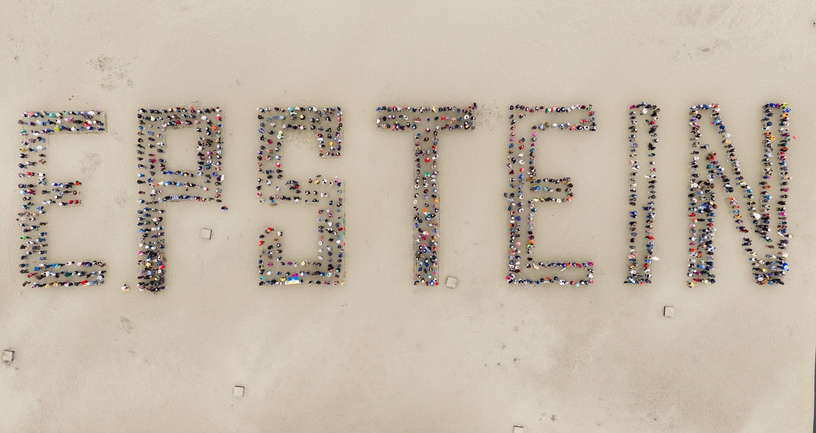
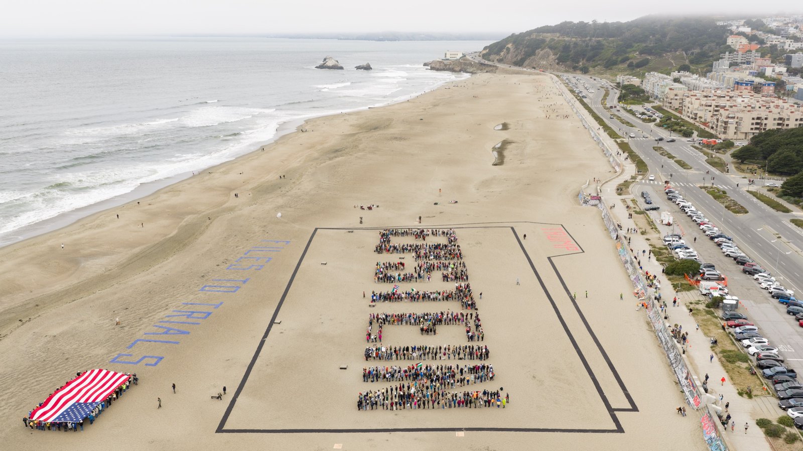
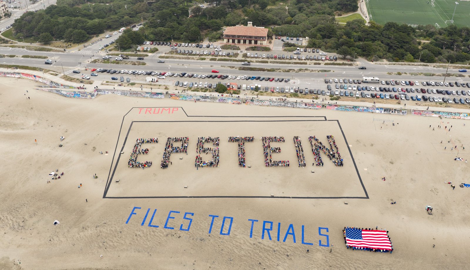
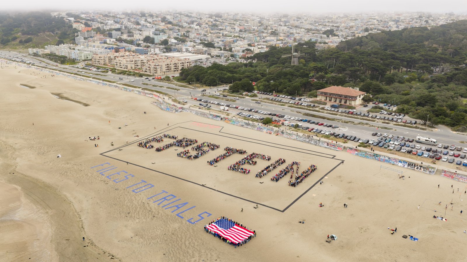
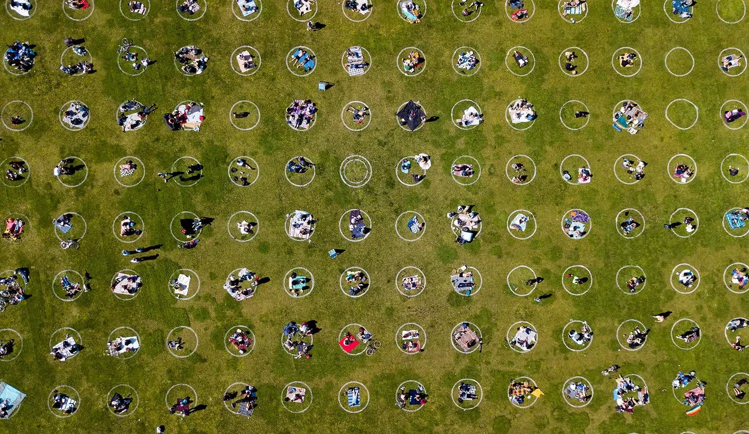
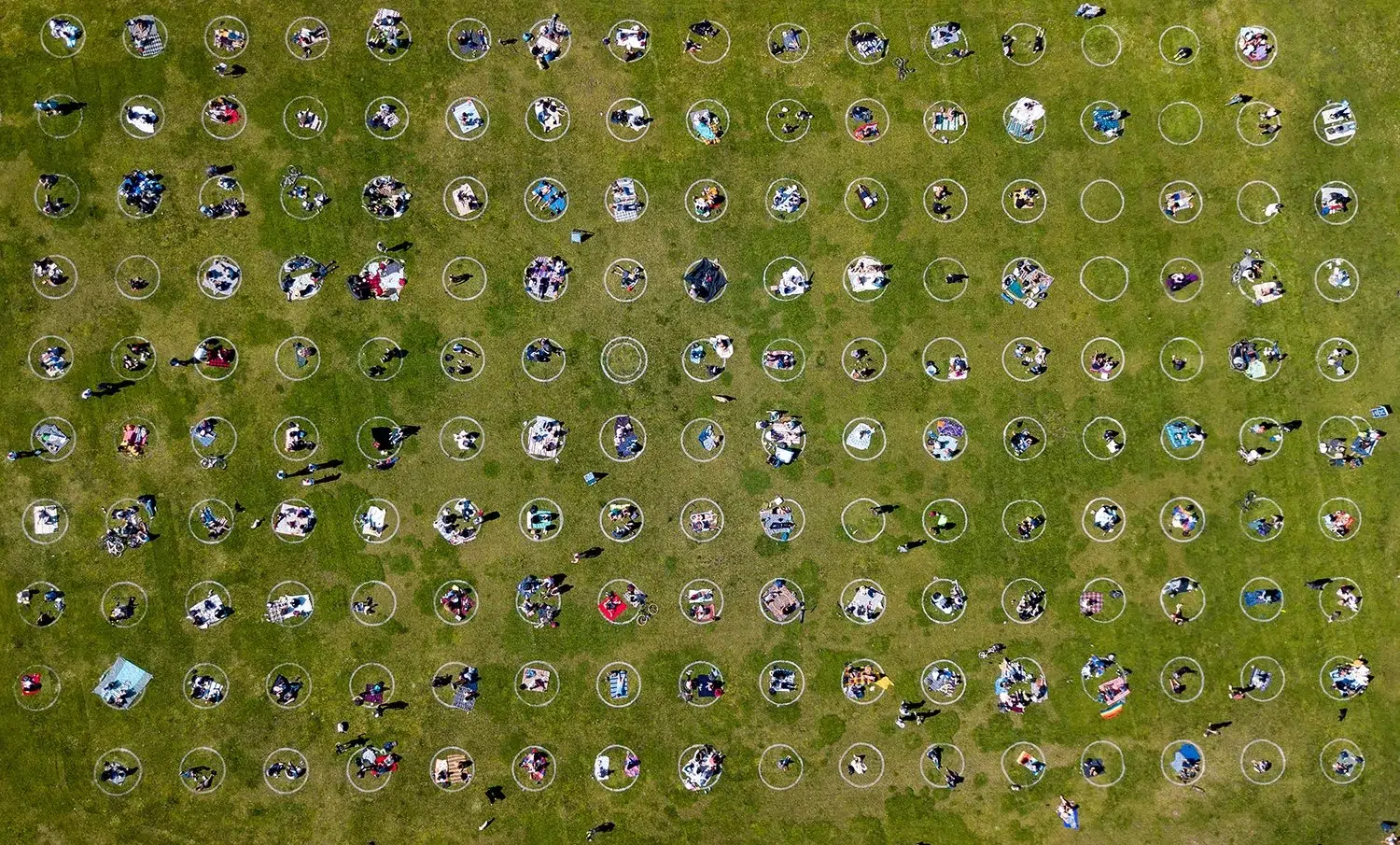
  • Large events & group photos — overhead coverage of conferences, festivals, and big team photos
  • Construction & development — progress documentation and site overviews for real estate and AEC clients
  • Editorial & marketing B-roll — cinematic 4K aerial footage for campaigns, brand films, and news features

Why a Photojournalist Behind the Drone

Drone footage is everywhere now — but most of it is generic. My background is in photojournalism, which means I am not just flying a camera; I am hunting for the frame that tells a story. Every flight is planned around the light, the composition, and the moment — and handled with the safety discipline of an FAA-certified, insured commercial operator. The result is aerial imagery that looks intentional and editorial, not like stock footage.

Frequently Asked Questions

Yes. I am an FAA Part 107 certified remote pilot, fully licensed and insured for commercial drone operations. For flights in controlled airspace, I file the required LAANC authorizations in advance.

Corporate campuses and facilities, large outdoor events and group photos, construction and development sites, and cinematic B-roll for marketing and editorial. If a subject benefits from an elevated perspective, I can capture it.

Yes. I shoot both high-resolution aerial stills and 4K video on the same flight, so you get a complete set of assets from a single booking.

Standard turnaround is 3-5 business days via a private, downloadable online gallery. Expedited delivery is available for time-sensitive projects.

Most aerial assignments range from $1,500 to $4,000 depending on location, flight time, airspace authorizations, and whether you need stills, video, or both. Reach out for a fast custom quote.

FAA Part 107 Certified — Fully Legal Commercial Drone Photography

Josh holds an FAA Part 107 Remote Pilot Certificate — the federal license required for all commercial drone operations in the United States. Every aerial shoot is planned with proper airspace authorization, including LAANC approvals for controlled airspace near major airports. Your images are fully compliant and legally usable for any commercial purpose, with no liability risk to your organization.

What We Capture From the Air

  • Corporate campuses & facilities — aerial overviews of headquarters, manufacturing plants, data centers, and multi-building campuses that communicate scale and presence
  • Events from above — outdoor corporate events, festivals, product activations, and large gatherings captured from perspectives impossible to achieve on the ground
  • Real estate & architecture — commercial properties, construction progress documentation, site surveys, and architectural showcase photography
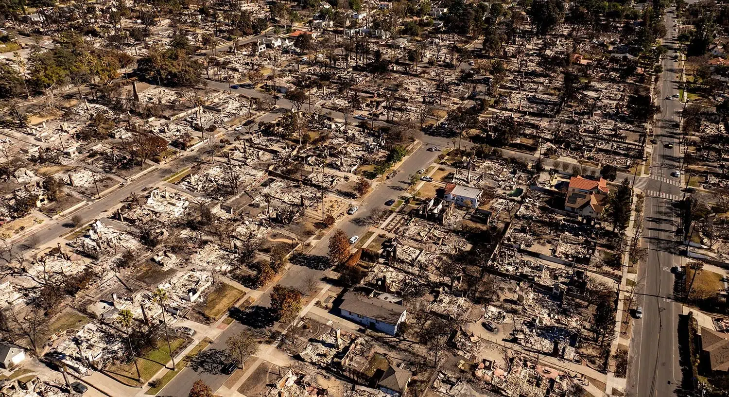
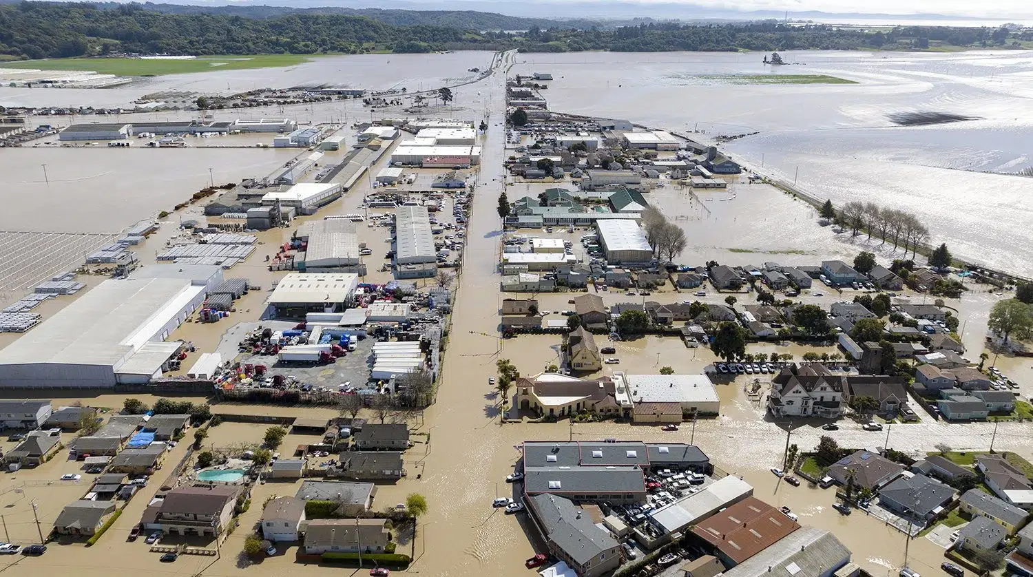
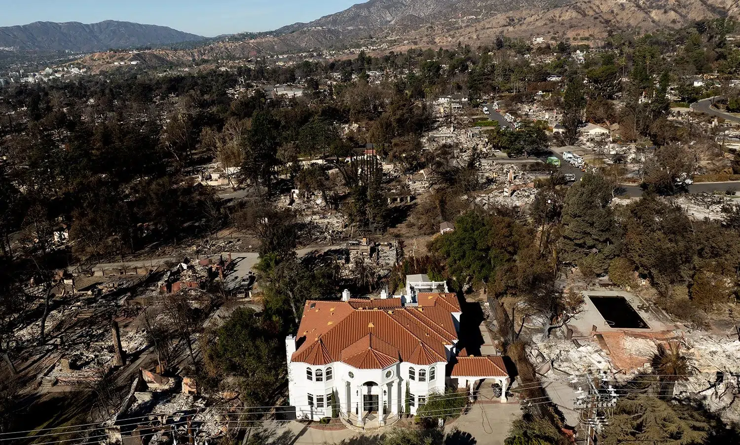
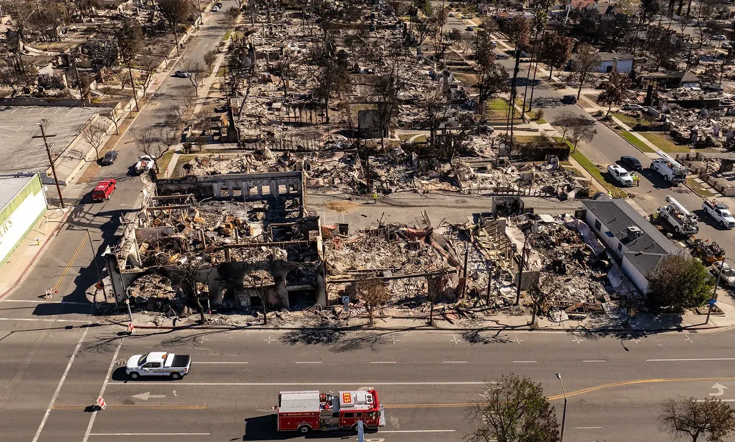
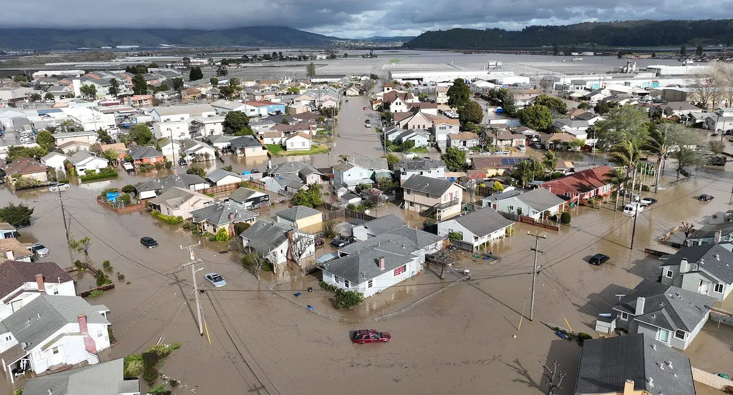
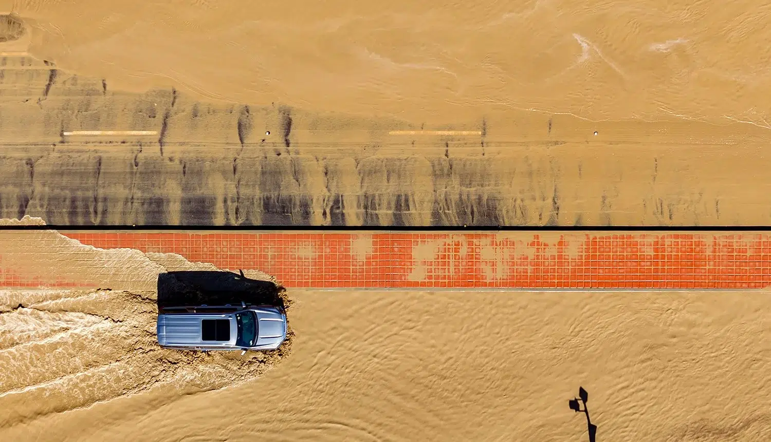
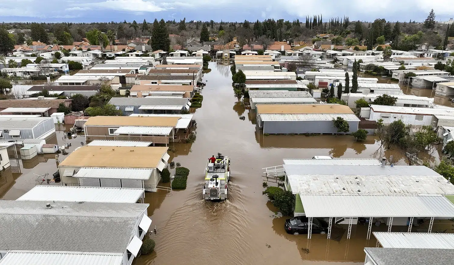
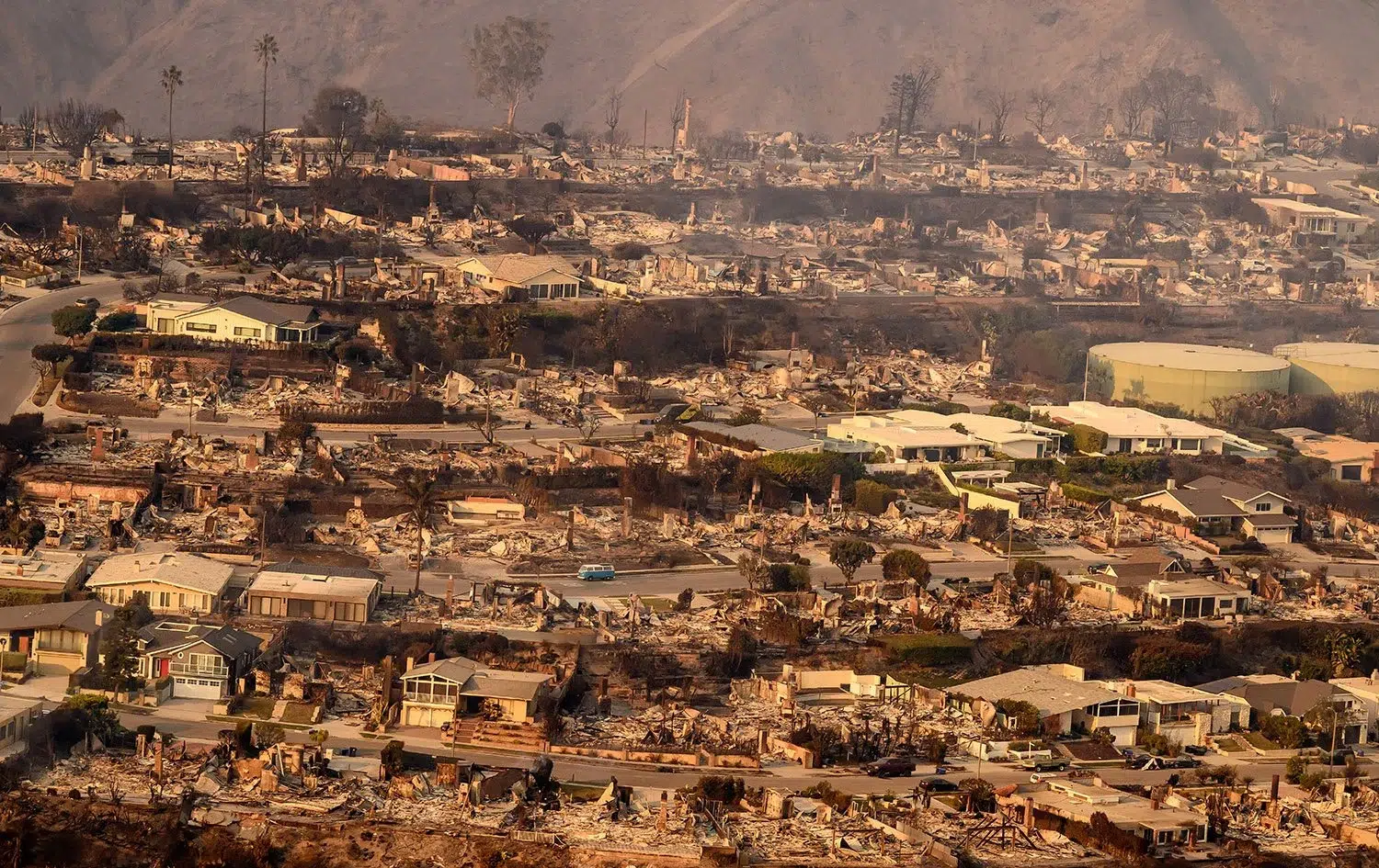
  • Editorial & documentary — Josh's aerial work has been published internationally by AFP, Getty Images, and major news organizations, applying the same editorial standards to commercial aerial projects

Equipment & Output

Josh shoots with professional-grade drone equipment capable of high-resolution still imagery and 4K video. Still images are delivered as high-resolution files ready for large-format print, web, and broadcast use. Final edited stills are delivered within 3–5 business days. Aerial video packages, including edited reels and raw footage, are available on request.

Coverage Area & Airspace

Based in the San Francisco Bay Area, Josh flies throughout California and travels nationally for aerial assignments. San Francisco (Class B airspace) and areas near major airports require LAANC authorization — Josh handles all airspace coordination and pre-flight planning as part of every engagement. Available across the Bay Area, Silicon Valley, Los Angeles, Las Vegas, and other national markets.

Pricing

Aerial photography sessions start at $1,500 for a half-day. Full-day aerial shoots and multi-day projects are priced by scope and travel requirements. Contact Josh to discuss your aerial project and get a quote.